Nautical Equipment
| 规格参数 | 参数值 |
|---|---|
| IMPA编码 | 370237 |
| 产品单位 | SET |
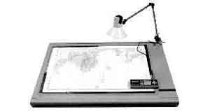
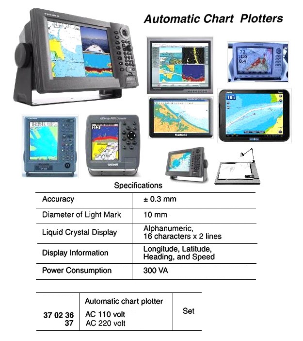
| 产品规格 | Automatic chart plotter continuously lights up ship’s precise position on ordinary charts according to longitude and latitude signals from the GPS (Global Positioning System) or other position reference systems, contributing to ship operation labor-savings as well as safe navigation. A convenient operation panel lets you register any chart for use in the system. The panel includes display functions for longitude, latitude, heading and speed. Additional interfaces receive data from an onboard |
| 中文汉化 | 370237 自动海图仪 AC220V -----描述-----:这是一款自动海图描绘仪,能够根据来自GPS(全球定位系统)或其他定位参考系统的经纬度信号,持续在普通海图上显示船舶的精确位置,有助于减少船舶操作的人力需求并提升航行安全性。设备配备便捷的操作面板,可让用户轻松注册任意海图供系统使用,并显示经纬度、航向和航速等信息。此外,设备还提供额外接口,可接入船舶的电罗经和计程仪数据,以进一步提高位置显示的准确性。该自动描绘仪还具备航线规划和存储卡数据存储功能。订购时建议索取产品手册或联系当地分销商的技术销售人员以获取更多详细信息。 |
| IMPA版本 | 8th Edition |
以上内容为AI翻译,请正确甄别-The above content is translated by AI and the images are sourced from the internet. Please discern correctly.